
Professional Diploma in Operational Oceanography and Ocean Services
This professional diploma prepares you to work with the systems that observe and forecast the ocean continuously. You will learn about monitoring networks, satellite data and numerical models, along with operational ocean services and the products they deliver to users.
Prior knowledge check
These are the skills this programme gives you. Tick the ones you already master and we will tell you which part of the syllabus is for you.
You are starting from scratch in this subject. The programme is designed precisely for that.
What is the Professional Diploma in Operational Oceanography and Ocean Services?
This professional diploma prepares you to work with the systems that observe and forecast the ocean continuously. It introduces the operational oceanography chain: real-time observation networks, models for currents, waves and sea level, data assimilation and validation. You also learn to design ocean services for ports, navigation, search and rescue, energy, fishing and emergency management, using products such as those of the Copernicus Marine Service.
What makes the programme different: a view of the full chain, from observation to forecast to the service delivered to the user; practice with operational forecasts and open products; a user focus, designing services for ports, navigation and emergencies; quality metrics and forecast verification; and your own capstone project, designing an ocean service for a specific user.
This is a programme with its own certificate issued by Navalis Institute; it does not replace any official qualification.
Programme highlights
- Understand the full chain, from observation to the service delivered to the user.
- Practise with operational forecasts and open products.
- Design services for ports, navigation and emergencies.
- Apply quality metrics and forecast verification.
- Develop your own case study: an ocean service for a specific user.
Syllabus of the Professional Diploma in Operational Oceanography and Ocean Services
8 modules. Select a module to see its content.
Fundamentals of Operational Oceanography
- 1.1. What operational oceanography is
- 1.2. History and development
- 1.3. Operational value chain
- 1.4. Global Ocean Observing System
- 1.5. National and international services
- 1.6. Forecast scales
- 1.7. Users and sectors
- 1.8. Current challenges
Real-Time Observing Systems
- 2.1. Wave and meteorological buoys
- 2.2. Tide gauges
- 2.3. High-frequency radar
- 2.4. Argo floats
- 2.5. Gliders and autonomous vehicles
- 2.6. Near-real-time satellite data
- 2.7. Transmission and data centres
- 2.8. Real-time quality control
Ocean Forecasting Models
- 3.1. Operational circulation models
- 3.2. Wave models
- 3.3. Storm surge models
- 3.4. High-resolution coastal models
- 3.5. Atmospheric forcing
- 3.6. Data assimilation
- 3.7. Ensemble forecasting
- 3.8. Operational forecast cycles
Copernicus Marine Products and Services
- 4.1. Structure of the Copernicus Marine Service
- 4.2. Regional production centres
- 4.3. Product catalogue
- 4.4. Analyses, forecasts and reanalyses
- 4.5. Access to data and tools
- 4.6. Ocean state reports
- 4.7. Ocean indicators
- 4.8. Use cases
Forecast Validation and Quality
- 5.1. Why validate
- 5.2. Error metrics
- 5.3. Wave verification
- 5.4. Current verification
- 5.5. Sea level verification
- 5.6. Validation of extreme events
- 5.7. Quality monitoring dashboards
- 5.8. Communicating reliability
Applications for Maritime Safety and Operations
- 6.1. Navigation support
- 6.2. Port operations
- 6.3. Search and rescue
- 6.4. Oil spill response
- 6.5. Coastal warnings
- 6.6. Offshore operations
- 6.7. Fisheries and aquaculture
- 6.8. Water sports and tourism
Design of Ocean Services
- 7.1. Identifying users
- 7.2. Needs analysis
- 7.3. Design of information products
- 7.4. Visualisation and dissemination
- 7.5. Alerts and thresholds
- 7.6. Web services and APIs
- 7.7. Assessing the value of the service
- 7.8. Service sustainability
Case Study: Ocean Service for a Real User
- 8.1. Selection of the user and the area
- 8.2. User interview and requirements
- 8.3. Selection of data sources
- 8.4. Evaluation of available forecasts
- 8.5. Product design
- 8.6. Visualisation prototype
- 8.7. Validation plan
- 8.8. Presentation of the service
Duration and format of the Professional Diploma in Operational Oceanography and Ocean Services
It is 800 hours. Tell us how many you can study each week and we will tell you when you will really finish.
This is the pace at which most students finish. It fits well with the instalment plan.
Academic leadership and faculty
The Navalis teaching team: working professionals who teach and supervise the programmes.
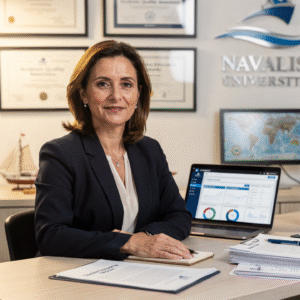 Dra. Marina AlcoverAcademic Director and Head of Quality Assurance
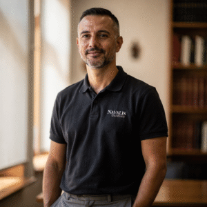 Ing. Diego CifuentesSenior Lecturer in Naval Welding and Non-Destructive Testing; Head of QA/QC for Welded Joints
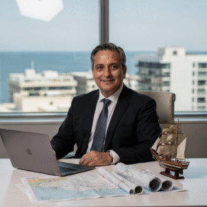 Cap. Javier Abaroa (MCA)Senior Lecturer in Ship Handling, Electronic Navigation (ECDIS/Radar/ARPA) and GMDSS; STCW Compliance and Bridge Resource Management Coordinator
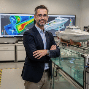 Dr. Pau FerrerSenior Lecturer in Naval Architecture and Simulation; Director of the Hydrodynamics and CFD Laboratory
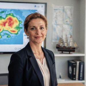 Dra. Nuria LlobregatSenior Lecturer in Marine Meteorology, SAR and Operational Safety; Navigation Risk Management Coordinator
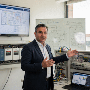 Ing. Javier BañulsSenior Lecturer in Electrical Engineering, Automation and ETO Engineering; Electronic Integration and Engine Alarms Coordinator
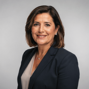 Ing. Sofía MarquinaSenior Lecturer in Materials, Composites and Corrosion Protection; Coordinator of the Advanced Paints and Coatings Line
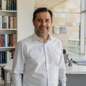 Ing. Tomás RieraSenior Lecturer in Propulsion, Alternative Energy and Hybrid Systems; Energy Performance and Vibration Coordinator
Objectives of the Professional Diploma in Operational Oceanography and Ocean Services
Career opportunities after the Professional Diploma in Operational Oceanography and Ocean Services
Questions about the Professional Diploma in Operational Oceanography and Ocean Services
Operational oceanography focuses on observing and forecasting the ocean continuously to provide services to users.
Yes. Forecasts and open data from Copernicus Marine and other services are used.
It is not essential; visualisation tools and guided examples are used.
No. It is an institution-specific qualification that does not replace any official degree or professional licence.
Designing an ocean service for a real user, from their needs to a prototype.
100% online, with a virtual campus available 24/7, live sessions that are recorded and tutorials with the teaching staff.
The programme has a workload of 110 hours. You can progress at your own pace within the timetable we give you when you enrol.
Each programme has its own start date, which appears on this page and is confirmed by the admissions team when you request information.
More programmes in Climate and oceanography
Admission process
No waiting for a call back. If your documents are in order, you can enrol in the same session.
- Profile: a degree in Marine Sciences, Physics, Environmental Sciences, Nautical Science, Engineering or a related field, or experience in the maritime or port sector.
- Language: sufficient command of the language of instruction to follow the classes. Basic technical English is recommended.
- Equipment: a computer with a stable connection, an up-to-date browser and a camera for live sessions and project presentations.
- Admission: online application, review of your profile and a short interview. Admission is provisional until the committee validates your documentation.
- 01ApplicationYour details, background and documents.
- 02Instant reviewWe check that everything is complete and in order.
- 03EnrolmentChoose full payment or instalments and reserve your place.
Admission is provisional until the committee validates the documents provided. If you do not meet the requirements, the full amount is refunded.
Ask us before you enrol
Leave your details and admissions will write to you to answer any questions. If you are already sure, you can apply and pay in the same session.